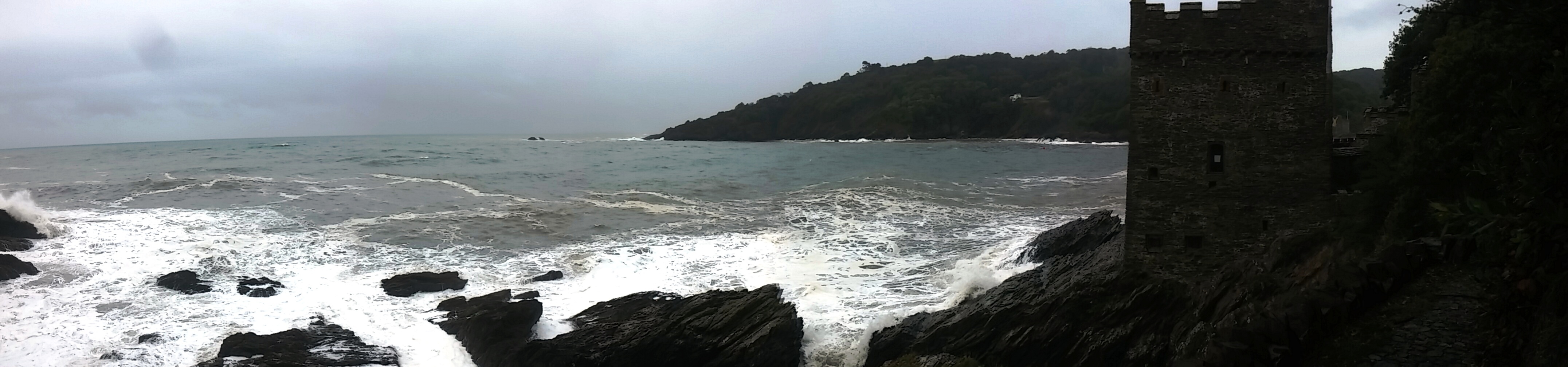
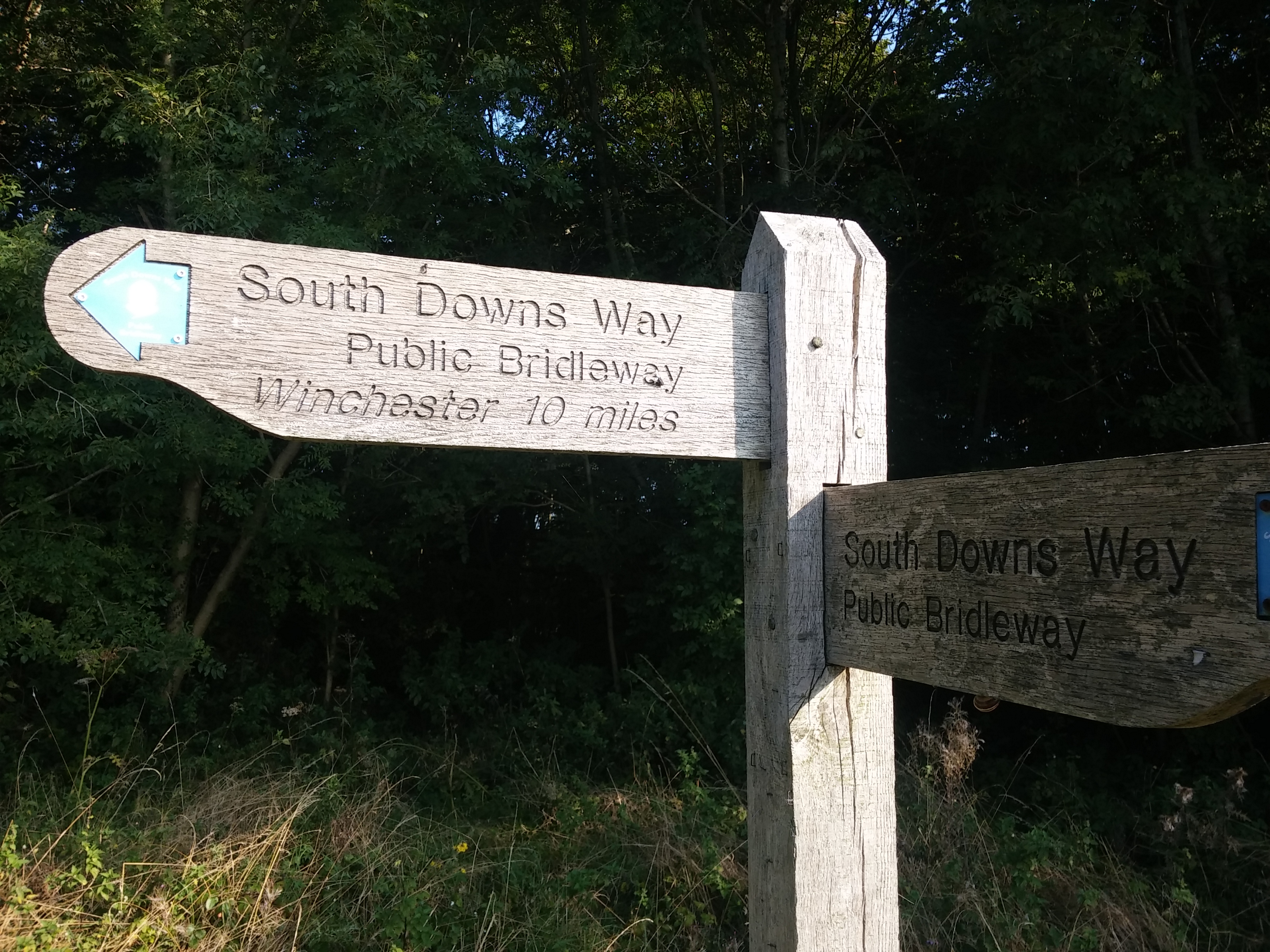
Winchester, in Hampshire, is my home town but now I’m living in Lewes, in Sussex. Between the two is the ridge of chalk hills known as the South Downs, along which runs a path: the South Downs Way.
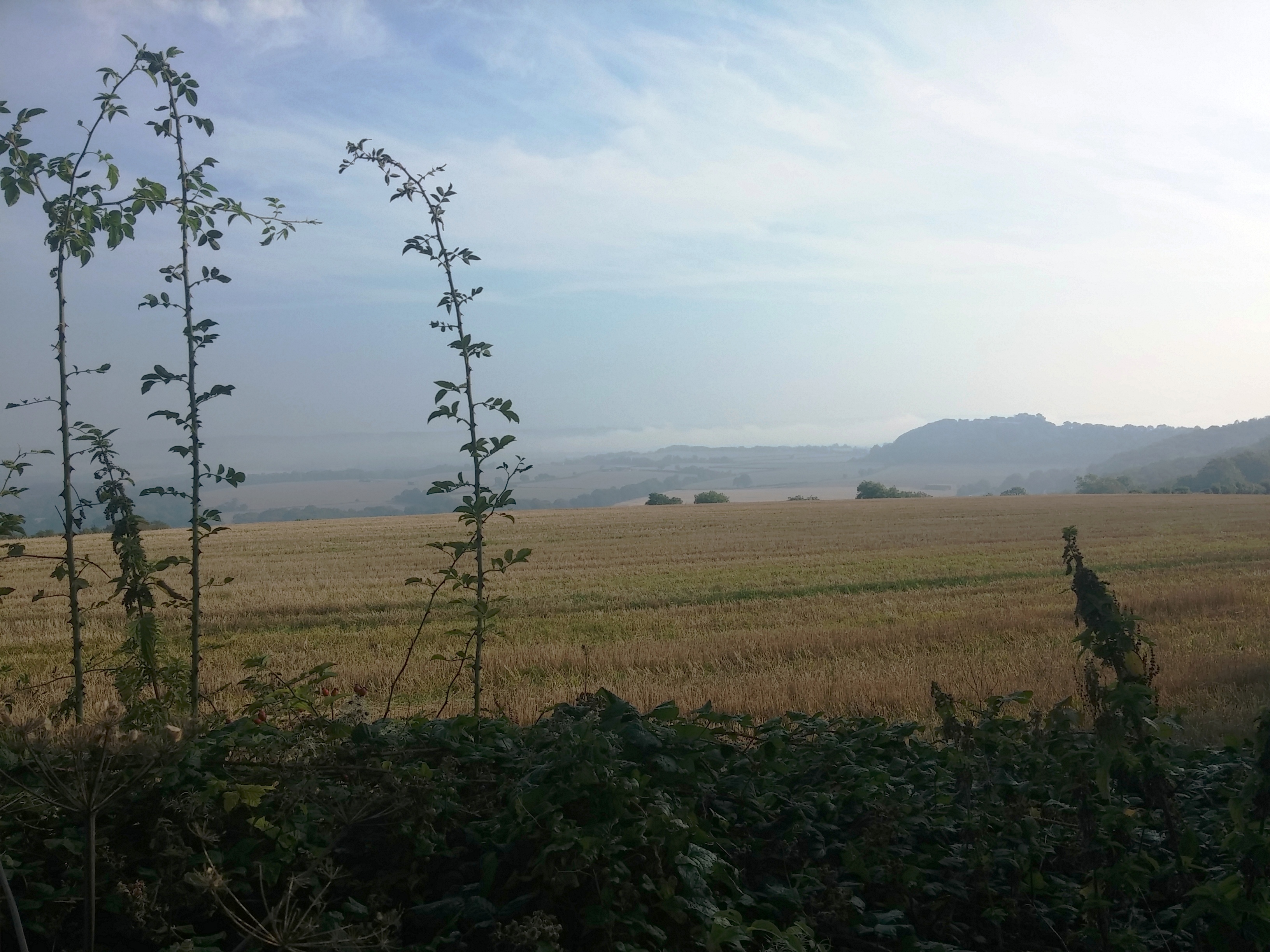
When we moved to Lewes in summer 2011, we walked a section of the Way to the southeast of Lewes, but since we moved back here this year, I’ve been wanting to walk to Winchester. We finally found a time in September to escape the building site and do the walk, happily coinciding with my birthday. After a cool, wet August, the summer came back in September and we had great weather. Three of the five mornings had thick mists, but these generally burned off leaving sun and views along the hills and north over the Weald, the lowland area between the South Downs and the next set of hills, the North Downs.
The south of England has been populated and manipulated by humans for millennia. The landscape of the hills was defined by centuries of sheep farming, which resulted in a unique ecology, plagioclimax communities featuring amazing selections of wildflowers and other wildlife. Much of this downland has been lost in England with the mechanisation of farming, but there’s still plenty along the Way. The human influence is also evinced by numerous hill forts , old industrial buildings, castles, tumuli (prehistoric burial mounds) and many, many cross dykes. No, not angry lesbians, but prehistoric earthworks that may have been territorial boundaries
Nature, history – and pubs
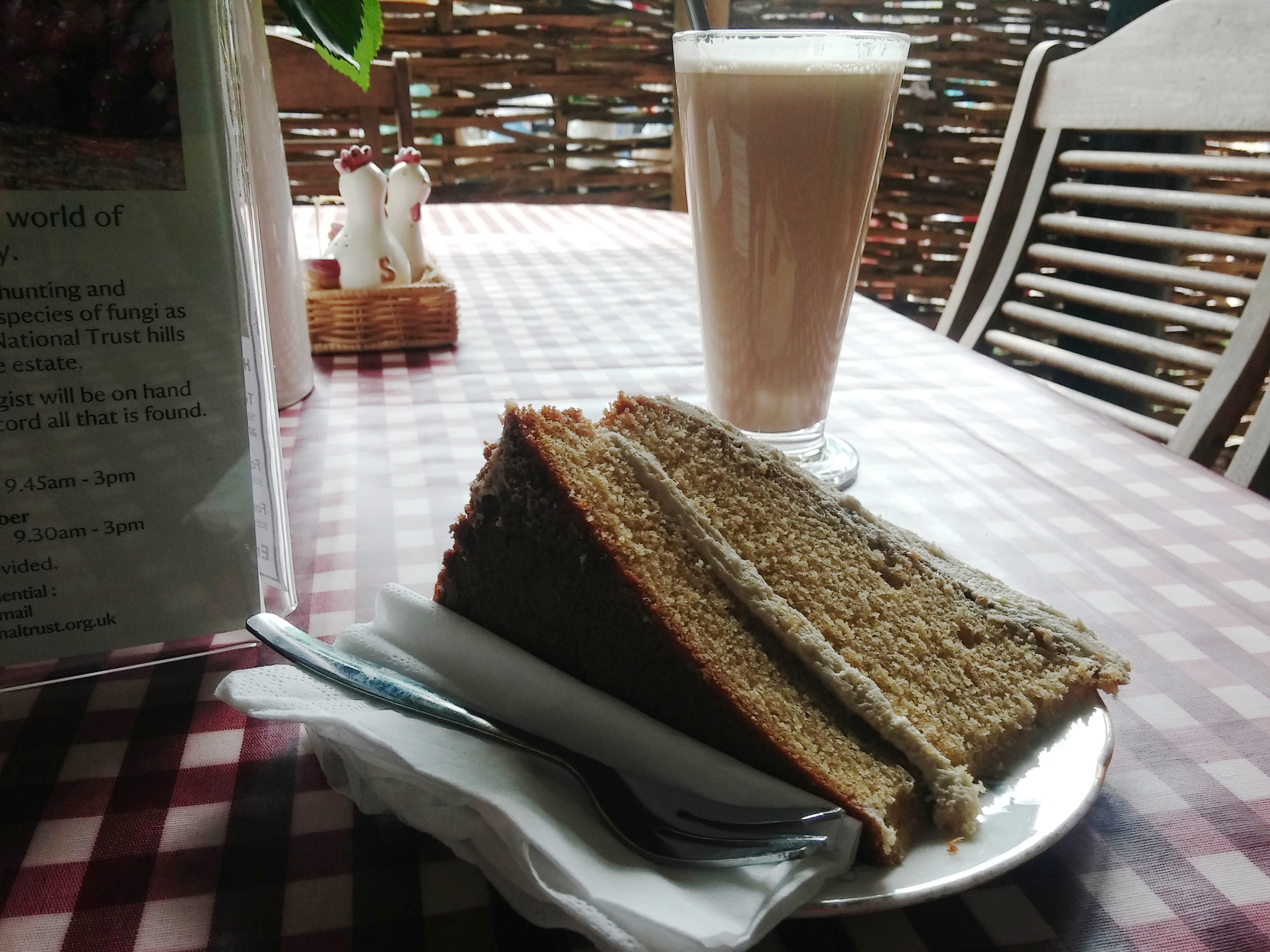
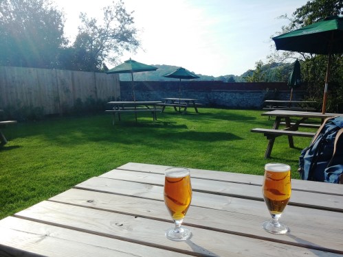
The other good thing about a walk in a long-populated part of the world is that you can go to the pub, something that’s not so easy on a backcountry hike. There were some great pubs along the way, and some great beers. A few pints of which, I would say, are well-earned after walking 20 miles (32km). We also stopped in a few nice tea shops, which, along with pubs, are – when done well – one of England’s great pleasures.
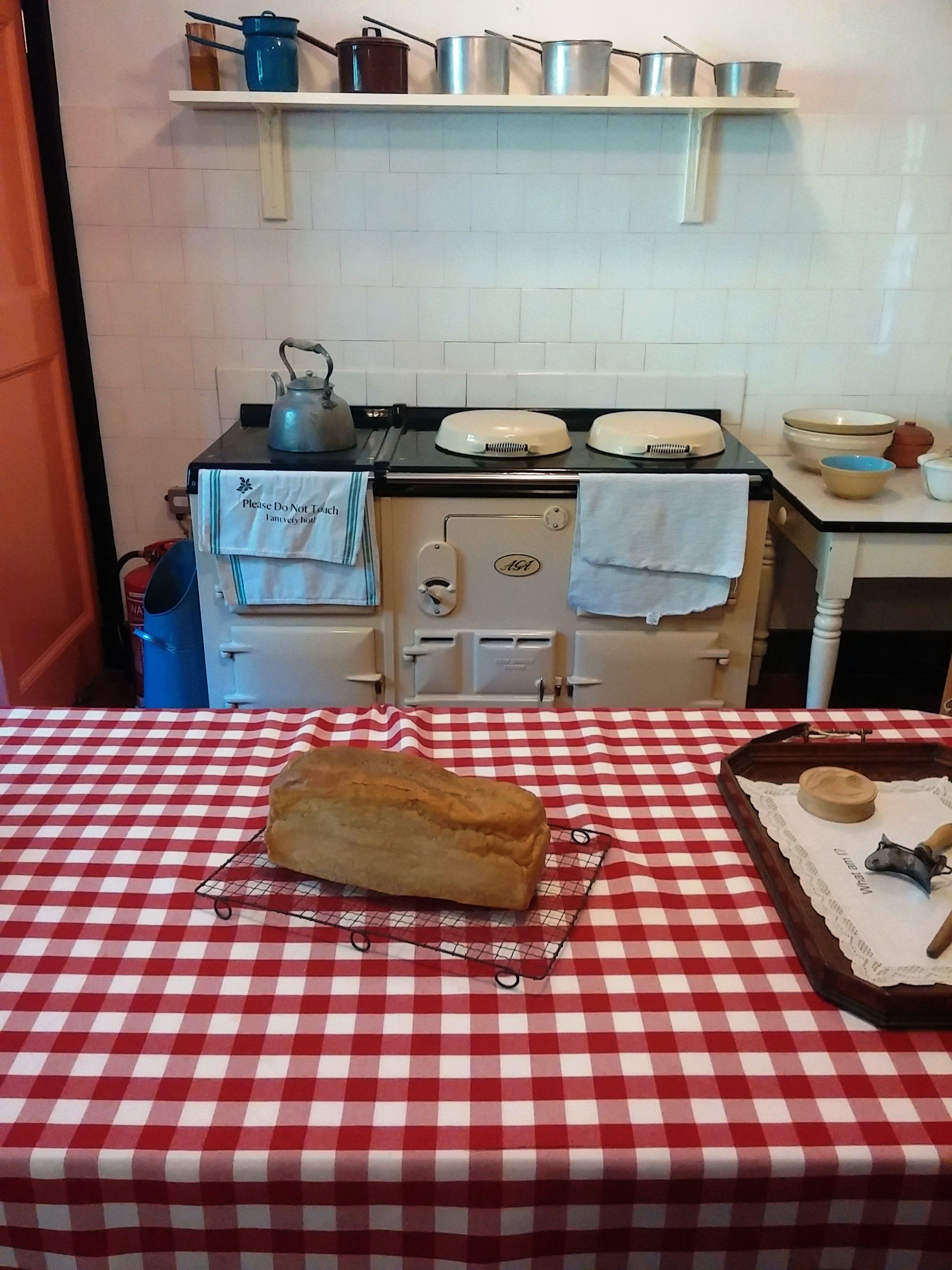
England’s B&Bs, on the other hand, can be less of a pleasure. There are some great B&Bs out there, and we stayed in a few lovely places, but they’re not the greatest examples of our hospitality. Aside from small, rubbish showers, my main grievance is the so-called “full English breakfast”. It’s all very well to pile a plate with sausages and beans and toast, but when all of that food is industrially produced, it just turns my stomach. Luckily, we stayed a few places that had their own chickens, ducks and pigs, so the eggs and pork products were good, but among the five places we stayed, only one served real bread, and only one offered homemade granola. The other four provided toast and “cereal” made from industrially used and abused grains. These are not good foods for your health in general and preparing to walk long distances specifically. B&Bs of Britain – make the effort! Serving real bread would be a great start.
In total we walked 88 miles / 141km, linking, the old-fashioned way, my current home and my childhood home. Here are some pics.
Day 1: Lewes to Steyning (21 miles / 34km)
Misty morning. Though this dew pond – one of many along the top of the Downs – with its one solitary tree looked handsome and moody.

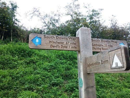
Already done a few miles. I love topographic features with devil-related names. The Dyke is the grandest of them along the South Downs.
Tea stop at the Hiker’s Rest, Saddlescombe Farm, before climbing up the Devil’s Dyke. A unique arrangement involving a small food truck serving cakes etc parked in a farm yard, with seating both outside and inside old feeding sheds.

Cup of tea at eminently cute Steyning Tea Rooms. Yes, it’s green tea with lemon, not your normal British black tea with milk. Cos that’s how I roll. Sometimes.

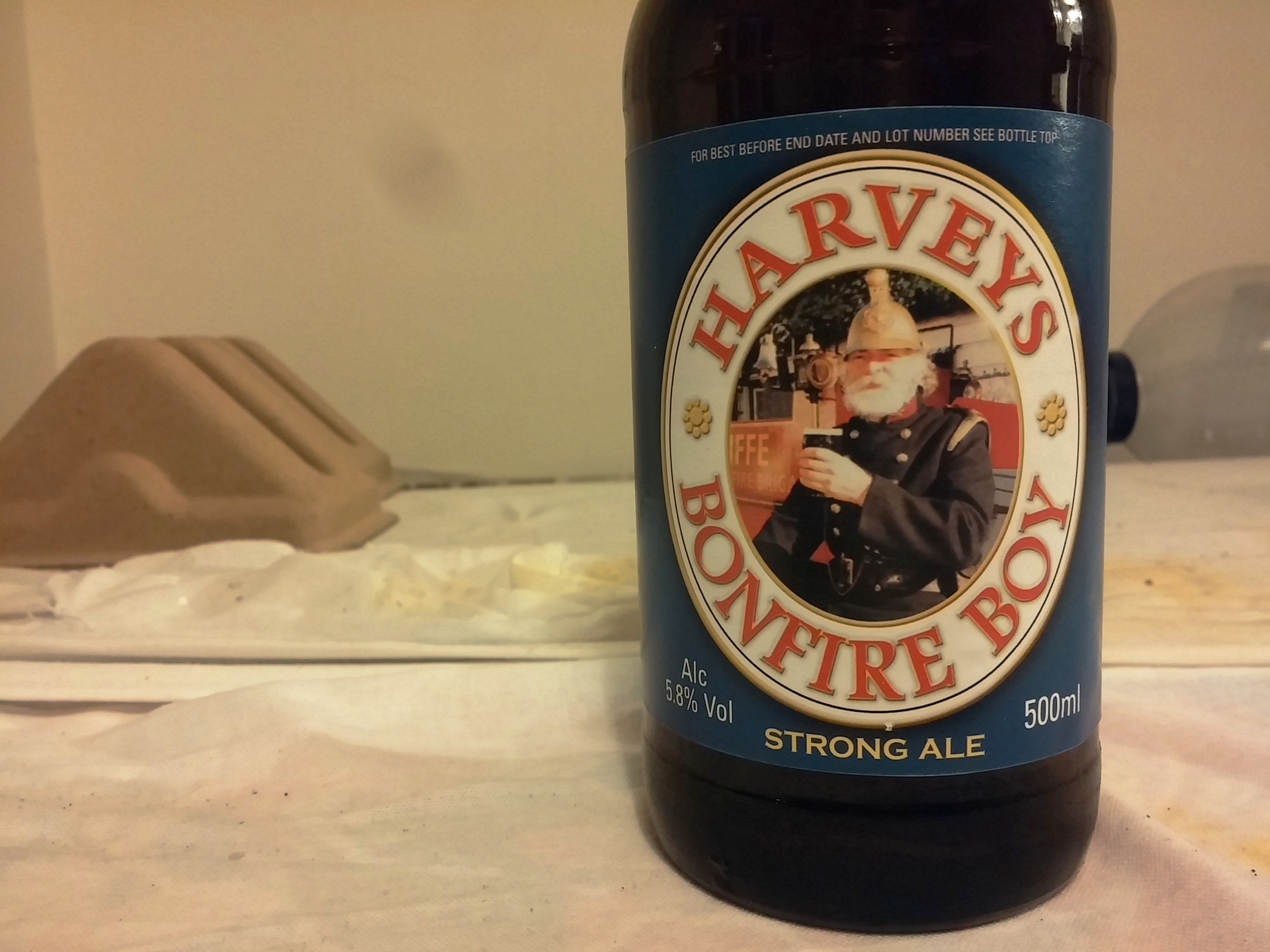
First pint of the walk, Long Man Pale Ale from Long Man Brewery, further east in Sussex, near the Long Man of Wilmington. We stayed at the Chequer Inn. Although it was a pretty standard pub, the beer was well kept – they have Cask Marque and SIBA signs – and the 15th century building had a lot of character.

Steyning has a very handsome high street, which remains fairly unspoiled except for that most reliable of taints on the modern human environment, the motor vehicle.

Day 2: Steyning to Bury (13 miles / 21km)
Started the day getting supplies from the Sussex Produce Company, which has this excellent selection of local beers.

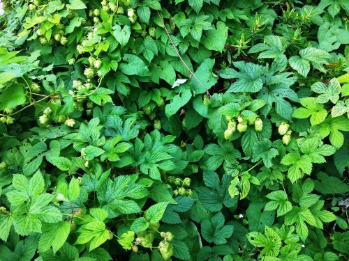
These hops were growing semi-wild on the edge of Steyning.
Wild chicory on the ridge above Steyning. If you like chicory and are interested in the various cultivated forms and their relationship with this wild one, I wrote about it here.

Paths in the mist – or possibly fret, as a sea mist is known in Sussex dialect.

An unusual WW2 bunker on Highden Hill, just after crossing the A24 London Road. It was apparently built by Canadian forces 1940-42, and was dubbed the “Tin Castle” by local schoolchildren.

Stopping at The Bridge Inn at Amberley (or more accurately, Amberley station / Houghton Bridge) for a few halves of Hip Hop – a hoppy blonde ale – from West Sussex’s Langham Brewery and some live bluegrass.

There used to be a ferry across the River Arun between Bury and Amberley. Walkers be warned – there isn’t a ferry any more, but there is a fine new foot and cycle bridge.

Nice little village Bury. We had dinner at the Squire and Horse gastro pub where the food was good and the service very hospitable, so much so that I forget to take photos. I was drinking Sussex Gold, from Arundel Brewery, suitably enough, as it’s just down the River Arun. This light, smooth 4.2% ABV ale, which combined subtle lemon and caramel flavours, was just right for a warm evening, sitting outside watching dragonflies flit. (It really has been an amazing year for dragonflies here in southern England.)
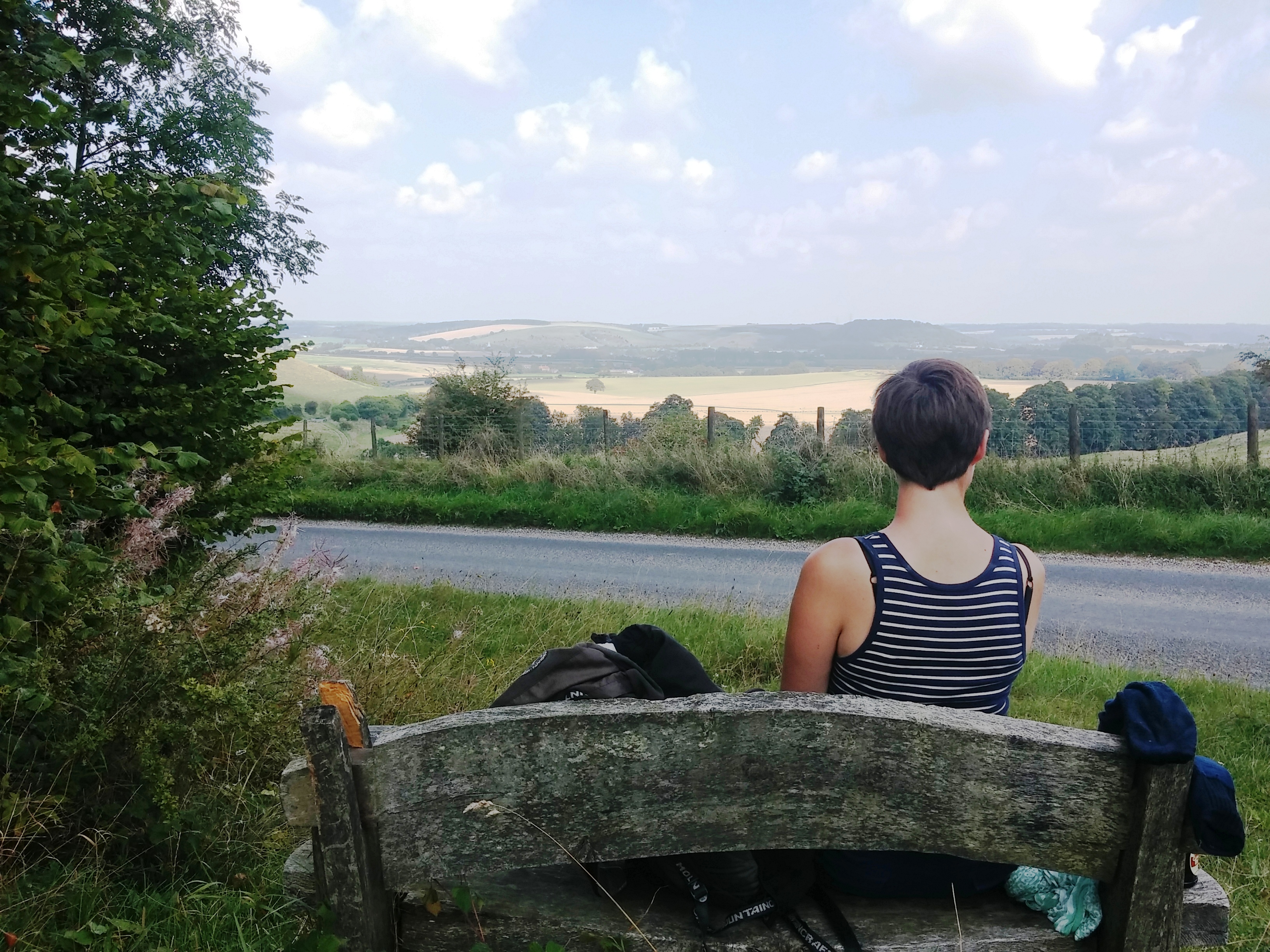
Day 3: Bury to South Harting (20 miles / 33km)
Another misty start coming out of Bury, but it cleared very suddenly when we got back up on the ridge.

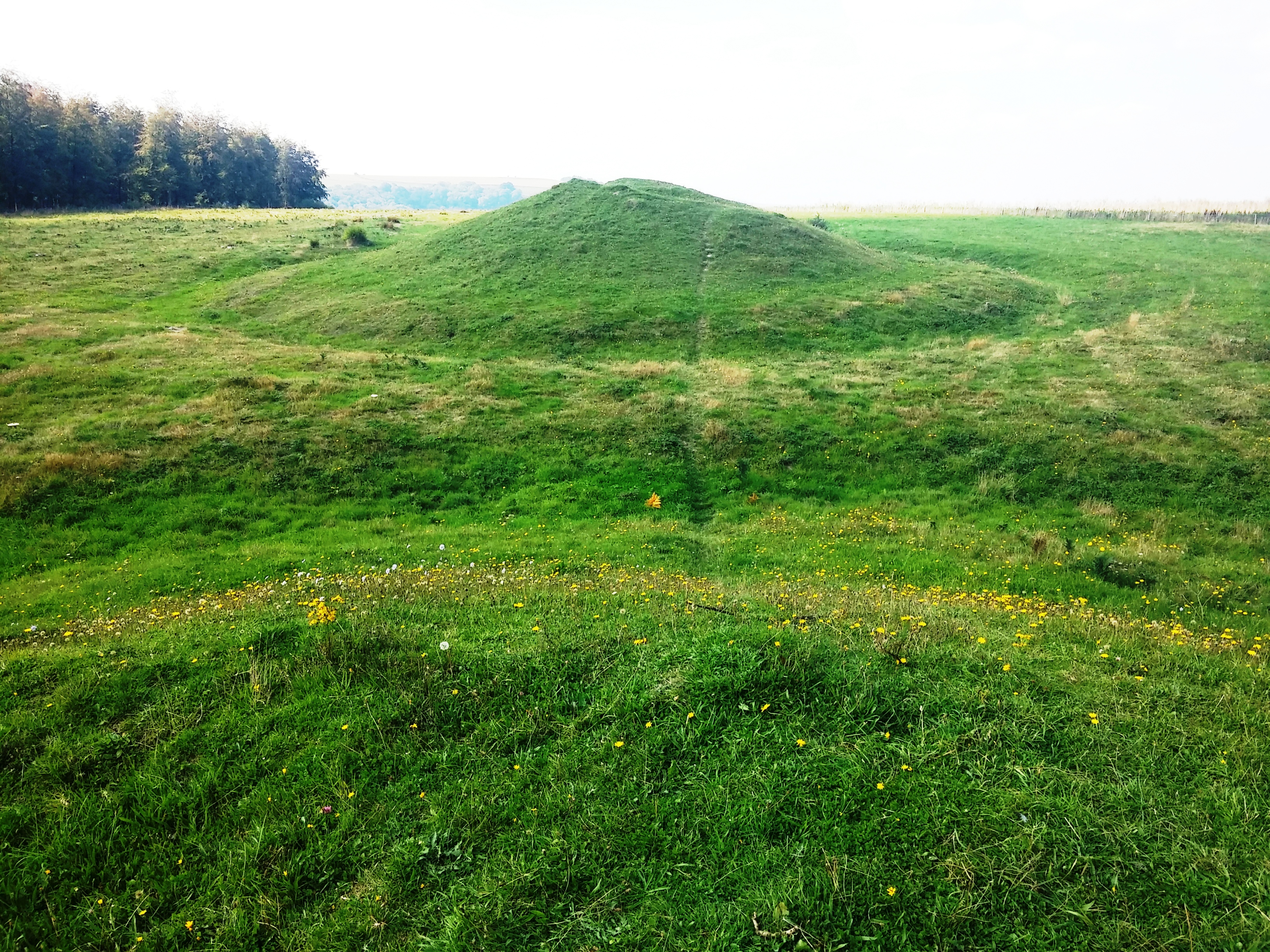
The Devil’s Jumps, one of the many wonderful prehistoric sites along the route. They’re a series of five bell barrows, a type of tumulus: that is, a grave (or not) created with a stone construction covered with earth. Fran had been having a bad day with blisters but a game pie cheered her up as did the amazing sight of a hare which ran across the path near the Jumps, closely followed by a stoat.

This memorial is just near the Devil’s Jumps, and another fascinating bit of history. The South Downs Way official trail guide shows its weakness when author Paul just says “A German pilot killed during the Second World War perhaps?”. In fact, it’s a memorial to a 25-year-old airman who was on a Ju88 bomber, shot down by a British fighter on 13 August 1940, “Eagle Day”.

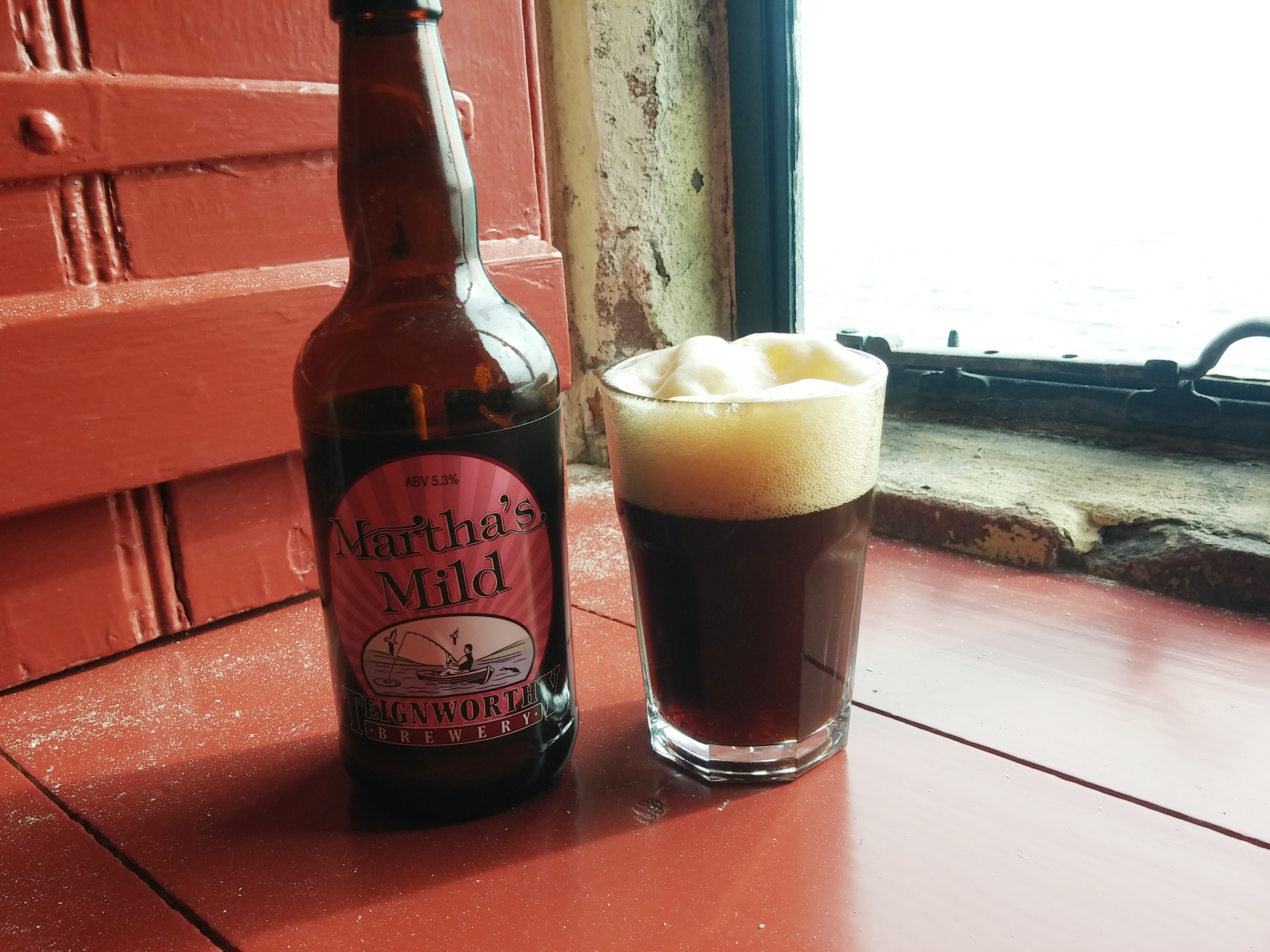
We spent a very pleasant couple of hours enjoying beautiful late afternoon/evening weather – and Upham Brewery beers, from Hampshire, though we were still in West Sussex – at the White Hart pub in South Harting.
Day 4: South Harting to Corhampton (18 miles / 29km)
The day started with mist again, beautiful as we headed back up to the ridge through these woods.

I’m assuming this enigmatic bollard with a length of chain attached marks the county boundary between Hampshire and West Sussex. Why the chain?

The English hedgerows in September are things of great beauty. Among the many plants in these tangled, frequently ancient field boundaries is black bryony, Dioscorea communis. This is Britain’s only native member of the yam family, though unlike its African staple food relative, it’s not edible.
After seeing a 20-year-old book about the Way illustrated with aerial photos, I was intrigued about the landlocked naval base known as HMS Mercury. Sadly, by the time we arrived, it’s all a building site for massive houses in a weird pastiche 18th farm cottage architectural style. This is Fran changing the plasters on her blisters just nearby.
This was our lunch that day. Local Sussex cheese and bread, though the latter was disappointing. My water bottle is a growler from Estes Park Brewery, which we visited almost a year ago.

View of Old Winchester Hill from the east. Quite why it’s called Old Winchester, when it’s 18km from Winchester (itelf pretty old, with its own hill fort) is a mystery. One local legend says the Romans tried to build Winchester (Venta Belgarum) there, but every morning they returned to the site and found the stonework they’d laid had been rolled down the hill. So they chose Winchester instead.

Quick break on Old Winchester Hill, most of which is a wild flower meadow at the moment, helping mantain species that need grazed chalk downland and also helping the much-ravaged bee population.
The villages of Corhampton, Meonstoke and Exton all blur together. Two of them have pubs and ancient churches. Corhampton church dates from 1020. This yew tree may be even older.

Exton’s church, St Peter’s and St Paul’s, is slightly younger, 13th century. This is apparently a gravestone (now located in the nave) showing the Angel of Death summoning a scholar from his books.

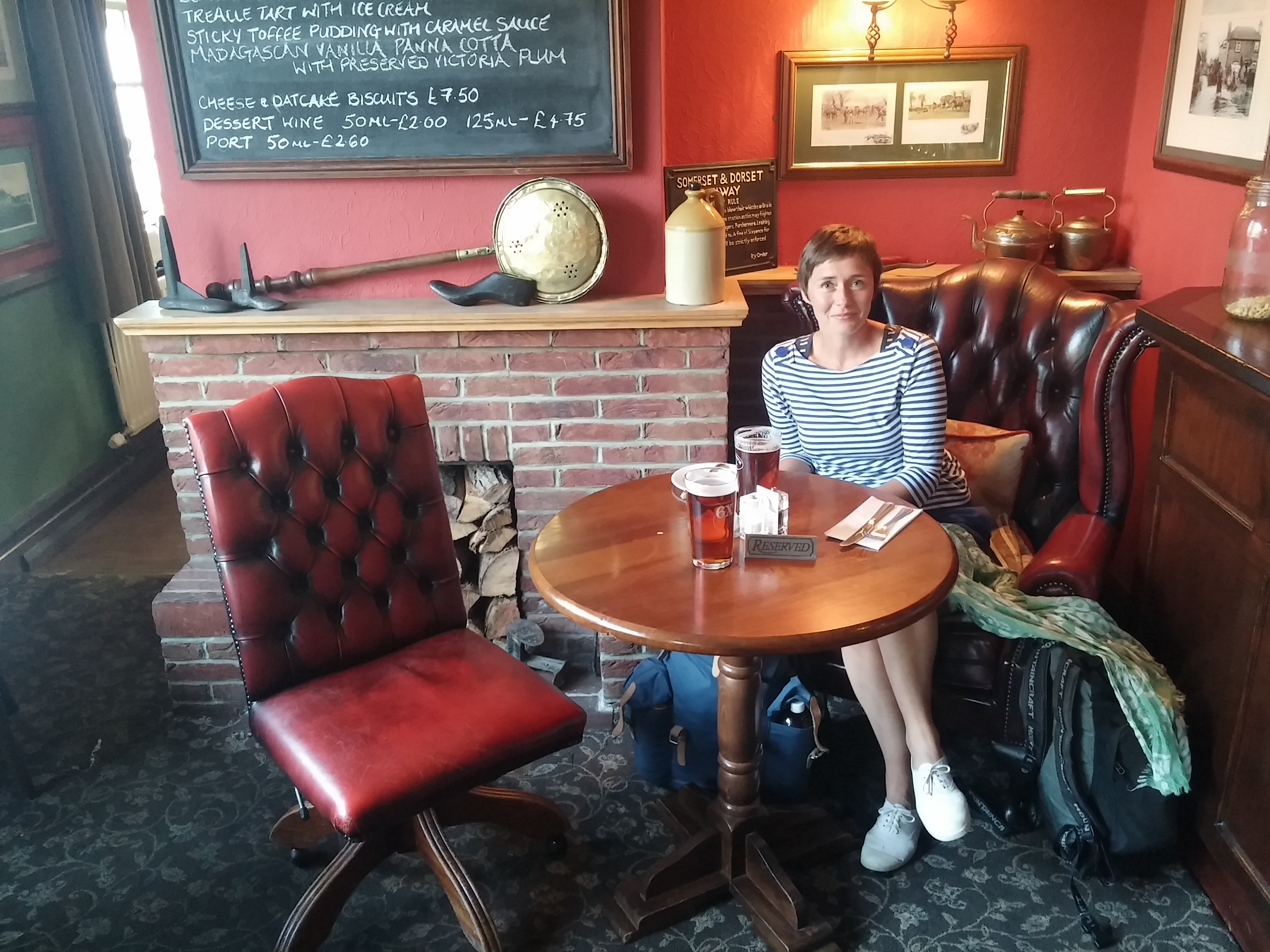
We arrived about 4.30pm. The pub, appropriately named The Shoe, didn’t open till 6pm, dammit. So we hung about in the churchyard until it did, then I had a pint of Wadworth 6X. Wadworth is in Wiltshire, so relatively local as it’s the next county to the northwest of Hampshire. It was a solid, medium-bodied, malty, caramelly ale. Fran had Swordfish, a similar malt ale given a bit of bite with the addition of rum.

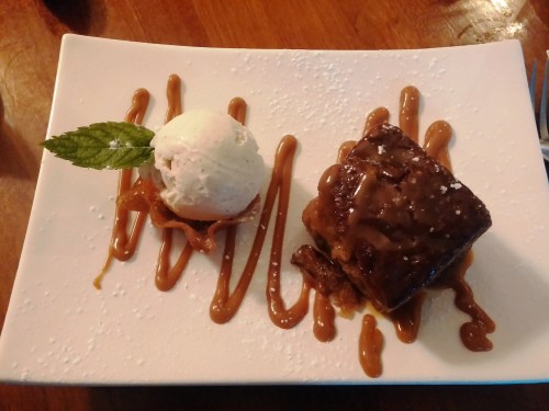
The Shoe is a great food pub. Desserts included that essential British (gastro-) pub classic, sticky toffee pudding. It wasn’t the best sticky toffee I’ve had (it wasn’t warm enough for starters) but the main coarses we had – venison and scallops – were excellent so we were in a forgiving mood.
Day 5: Corhampton to Winchester (15 miles / 25km)
Leaving the lovely Corhampton Lane Farm B&B, where they both grow and clean grain, we scrambled down the back of their property. This vineyard was across the valley. The South Downs are becoming increasingly significant for wine production. I don’t know much about it, but apparently chalk and limestone are particularly good for producing sparkling wines – and that’s what this estate, Exton Park, does.

Not far to go now, getting back in the countryside I explored as a kid on my bike and on family walks.

For those who know me, they’ll know I got a bit obsessed with dead bikes while living in Rome. This was a nice variation on a theme. What it’s doing alongside a path on Gander Down I don’t know.

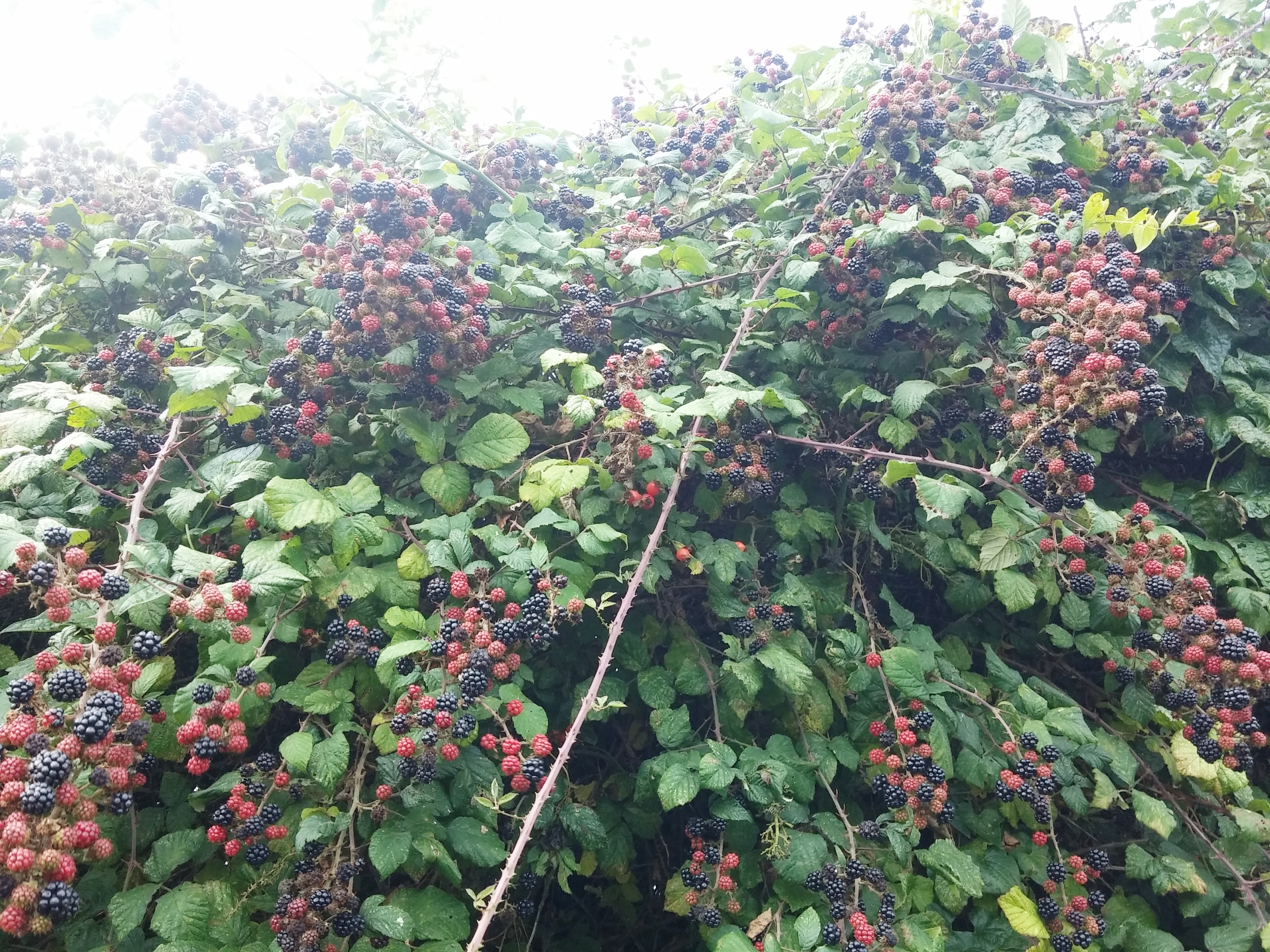
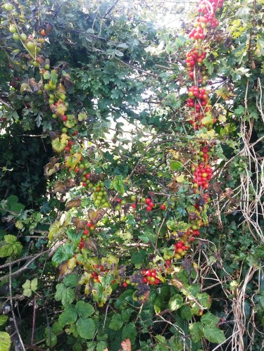
Some more hedgerow bounty. It really has been an amazing year for sloes and blackberries. If we’d been medieval pilgrims of a lowly caste or abstemious bent, we probably could have walked the whole route feeding ourselves on blackberries and hedgerow apples.

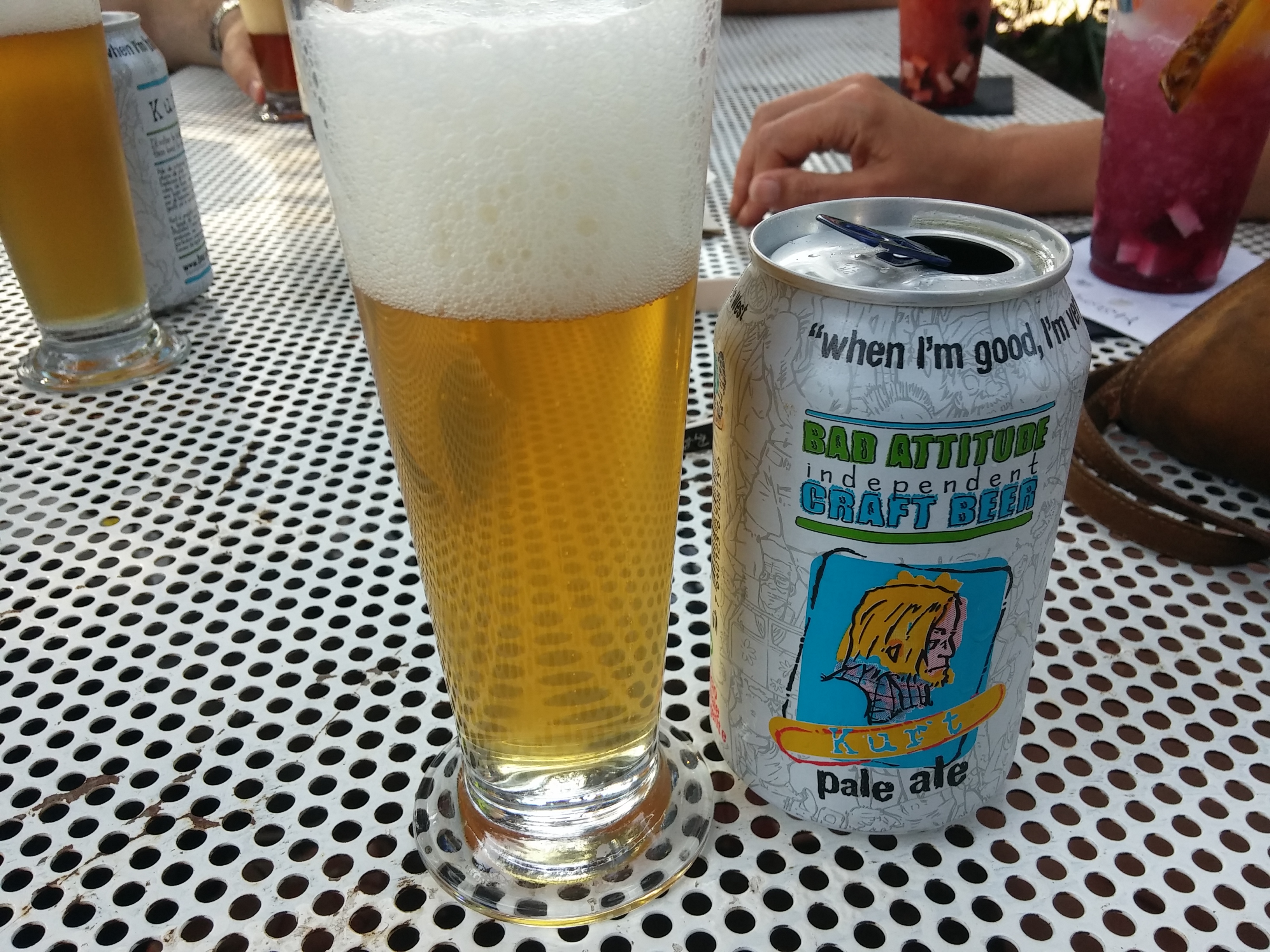
Reaching Winchester, we stopped at my favourite home town pub, The Black Boy free house, for a quick early afternoon drink. I had a Saxon Bronze from Alfred’s Brewery, founded in 2012 and named after our 9th century Saxon king, Alfred the Great. Winchester was his capital and from there he built the foundations of modern England. The Saxon Bronze is one of those new generation English ales that has the maltiness of a traditional bitter, but is informed by the crisp New World hoppiness so associated with the craft beer revolution.

And here is some serious caskery outside the Black Boy.
The end of our walk, on the steps of my folks’ place.

Now, I absolutely loved this walk. So much history and beauty. Fran had a wobble when her blisters were getting to her, but overall she enjoyed it too. My only regret is not doing one extra mile at the end and going to the Hospital of St Cross, a Norman church and almshouses, where you can request the “wayfarer’s dole” at the porter’s lodge. As we were genuine old-school wayfarers, it would have made sense, but as I grew up just near there, it felt weird to go there to blag a piece of bread and mouthful of ale.
Instead, we paid a visit to this wonderful gravestone in the grounds of Winchester Cathedral. Thomas Thetcher was a soldier who died in 1726, apparently because of his beer choice: “Here sleeps in peace a Hampshire Grenadier, / Who caught his death by drinking cold small Beer, / Soldiers be wise from his untimely fall / And when ye’re hot drink Strong or none at all.”


 and mill (left,without sails)")